Skyline Photo Hop: River, Bluff and The Scout
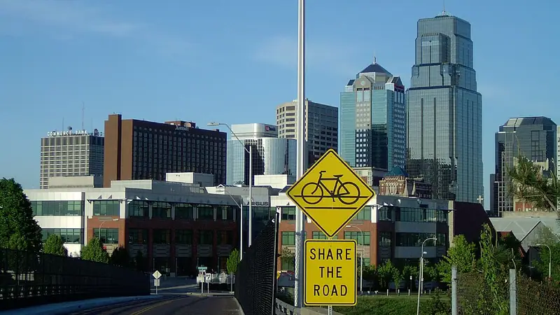
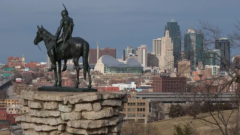
Three free views in one evening: the river from the Town of Kansas Bridge, the Quality Hill bluff, and the skyline from The Scout.
Whole route inGoogle Maps Apple Maps
Also close by
- Riverfront overlook, outdoors, 1 min walk from stop 1
- Jimmy B's Pizza & Wings, food, 3 min walk from stop 1
- River Bluff Brewing (River Market), brewery, 3 min walk from stop 1
- The Peanut, drinks, 4 min walk from stop 2
- The Paella Mix, food, 5 min walk from stop 1
- Breakout KC, games, 5 min walk from stop 1
The stops
- Town of Kansas BridgeFree. Walk out to the deck over the river.about 25 min · 1st St and Main St, Kansas City, MO 64105 · then 6 min driveWebsite Google Maps Apple Maps
- Lewis and Clark Point (Case Park)Free. The bluff looks out over the West Bottoms and the river; this is the sunset stop.about 25 min · W 10th St and Jefferson St, Kansas City, MO 64105 · hours freshly checked · then 8 min driveWebsite Google Maps Apple Maps
- The Scout Overlook (Penn Valley Park)Free. Stay until the skyline lights come on.about 25 min · Penn Valley Park, Penn Dr, Kansas City, MO 64108 · hours freshly checkedWebsite Google Maps Apple Maps
How the night flows
Start at the river around an hour before sunset, drive five minutes up to Case Park for the sunset, then finish at The Scout as the skyline lights up.
Good to know
- Reservations
- Not needed
- Parking
- Street parking near 1st and Main, on Quality Hill, and the Penn Valley Park lot.
- Getting around
- Driving, Walking
- Setting
- Outdoors
- Alcohol
- Optional
- What to wear
- Comfortable shoes and a charged phone.
Before you go
Hours, prices and reservations change. Anything we haven't recently source-checked is marked “Confirm today” in the planner rather than presented as fact. Check the venue's own page before you head out.
We last looked over this date on September 23, 2026. That is a review of the plan, not a promise that every detail is current.
Spot something closed, moved or wrong? Tell us so it can be fixed.
More date ideas in Downtown
Make it yours
Set your date, budget and mood and the planner will rebuild this into three options that fit, with swaps, timing and travel between stops.
Plan a date like this →